SkyFall Studios – Drone & Photography
Providing top-tier aerial photography, videography, mapping, and 3D services to make your moments unforgettable.

Why Choose SkyFall Studios?
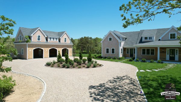
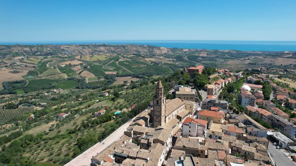
SkyFall Studios specializes in professional aerial photography, videography, and advanced drone mapping. We capture breathtaking visuals and data for real estate, construction, and commercial projects. With expert mapping services including orthomosaics, 3D models, and digital twins, we deliver clarity and accuracy every time.
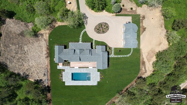
Drone Mapping & 3D Services
Basic 2D Mapping (OrthoMosaic / Photogrammetry)
Transform aerial images into precise 2D maps. Perfect for construction planning, agriculture, land assessment, and roof inspections. Our orthomosaic maps provide detail and clarity far beyond satellite images, giving you accurate, actionable insights.
Starting Price: $600
Advanced 3D Mapping
Get a bird’s-eye 3D view of your site. Ideal for construction progress tracking, land development, and topographic surveys. Our advanced 3D mapping delivers elevation models, contour lines, and volumetric data to streamline your planning and decision-making.
Starting Price: $1,000
3D Digital Twins / Feature-Rich Mapping
Create immersive, interactive 3D models of properties and job sites. Perfect for real estate walkthroughs, construction visualization, insurance documentation, and property management. Digital twins allow clients to explore and evaluate spaces virtually with incredible accuracy.
Custom Projects Starting at $1,500
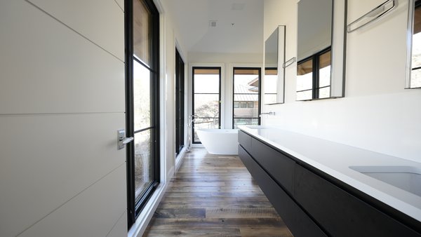
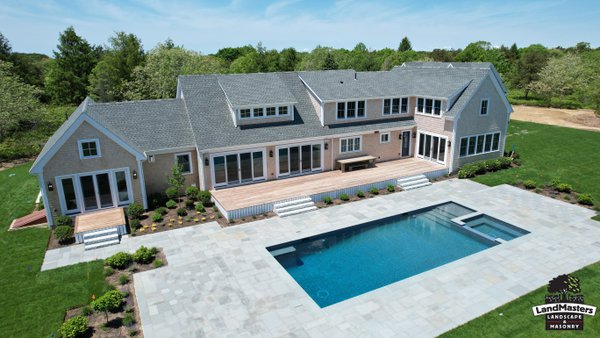
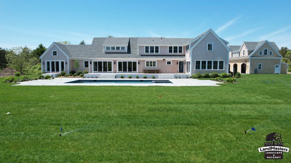
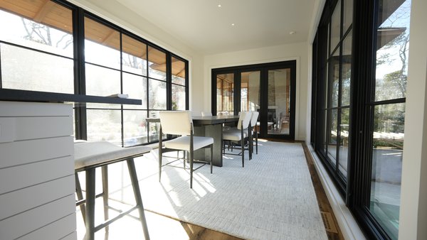
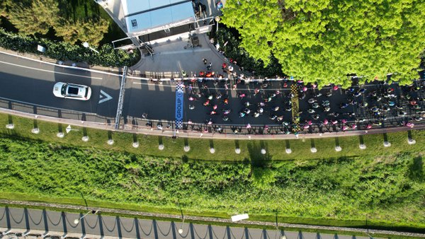
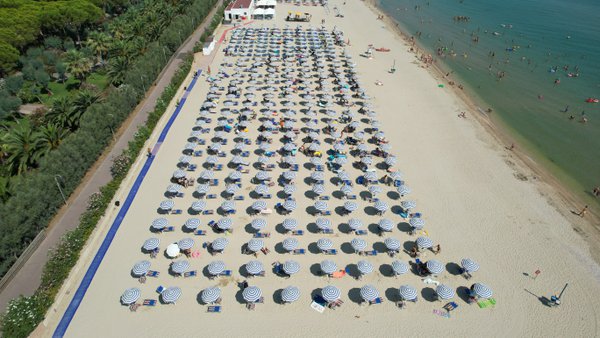
Our Work


What Our Clients Say
“SkyFall Studios provided exceptional drone photography and mapping for our construction project. The results were detailed, accurate, and invaluable for our planning!” – John D.
“The 3D digital twin service was a game changer for our real estate listings. Our clients could explore properties virtually and it helped close deals faster.” – Sarah M.
“We needed precise 2D mapping for our farmland, and SkyFall delivered beyond expectations. Professional, efficient, and highly recommended.” – Michael R.
Book an Appointment
Ready to elevate your project with professional drone mapping and 3D services? Book a session today!